Surface GIS

-
![An image of The Float House]()
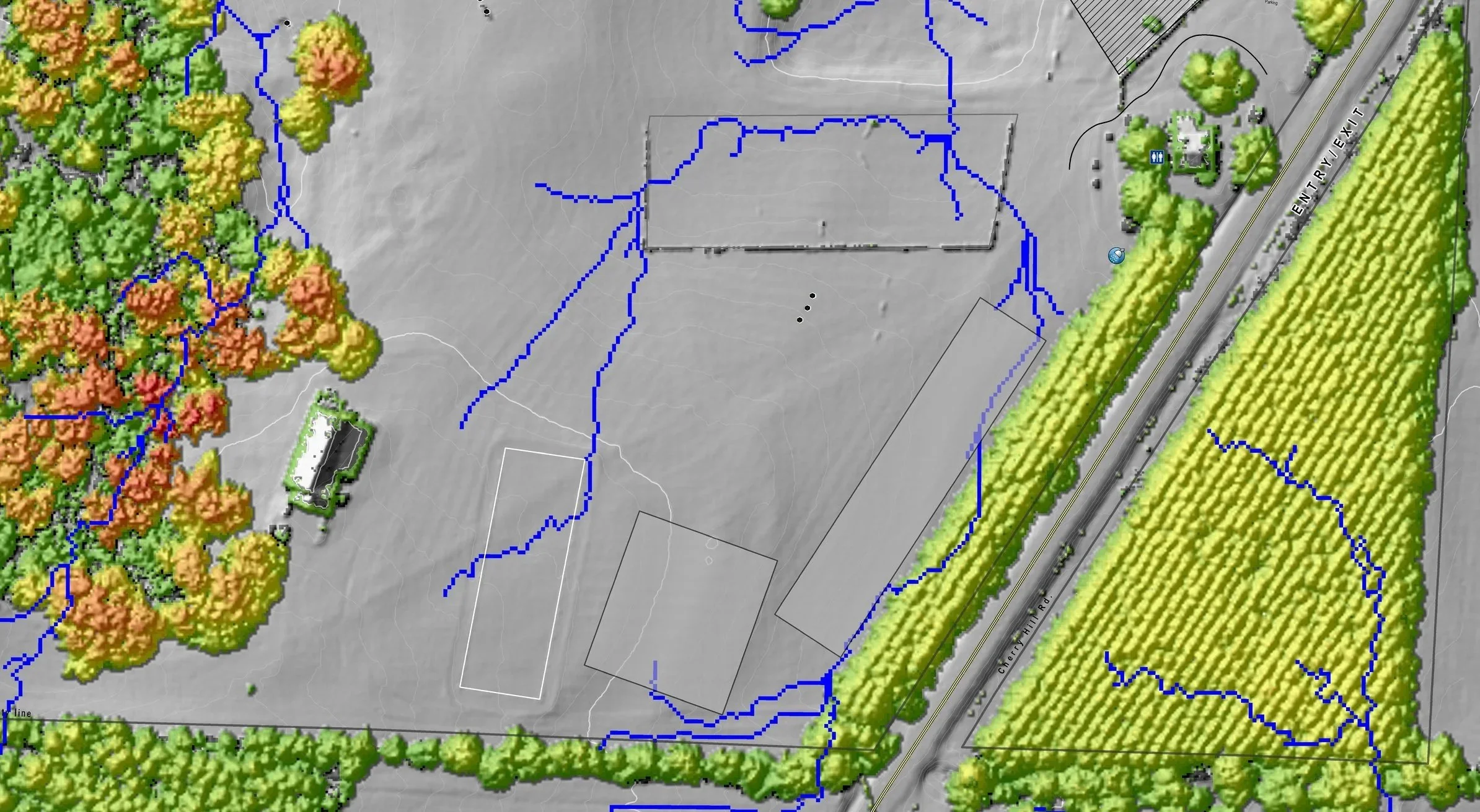
Linear Asset Erosion
Know the erosion fate of every monitoring point along your linear network with a lidar based budget planning tool. Our Erosion Potential Report (EPR) empowers asset managers of large trail and road networks to establish science based budgets for erosion control along their entire linear network.
- Set maintenance priorities and budget planning.
- Focus storm planning or recovery. - Reroute trail or road.
- Culvert site suitability.
- Ponding of water.
- Road deactivations.
and more..
Demo a report dashboard and more from the link below.
-
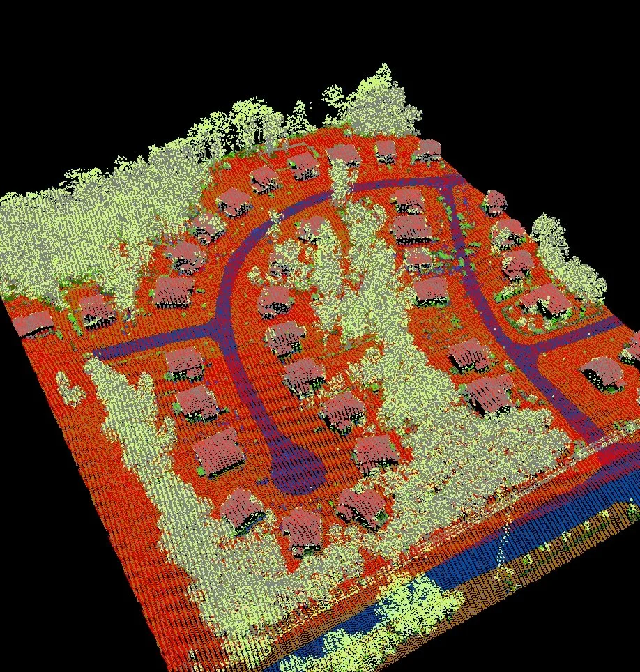
![Lidar Lab]()
Lidar Lab
Get you Lidar point clouds analyzed by a professional with 20 years of point cloud expertise. In rapid fashion, we can deliver the strategic raster, vector, or CAD* ready data you need.
- Infrastructure
- Biomass Height
- Advanced Hydrology
- Slope, Aspect
- Cut & Fill
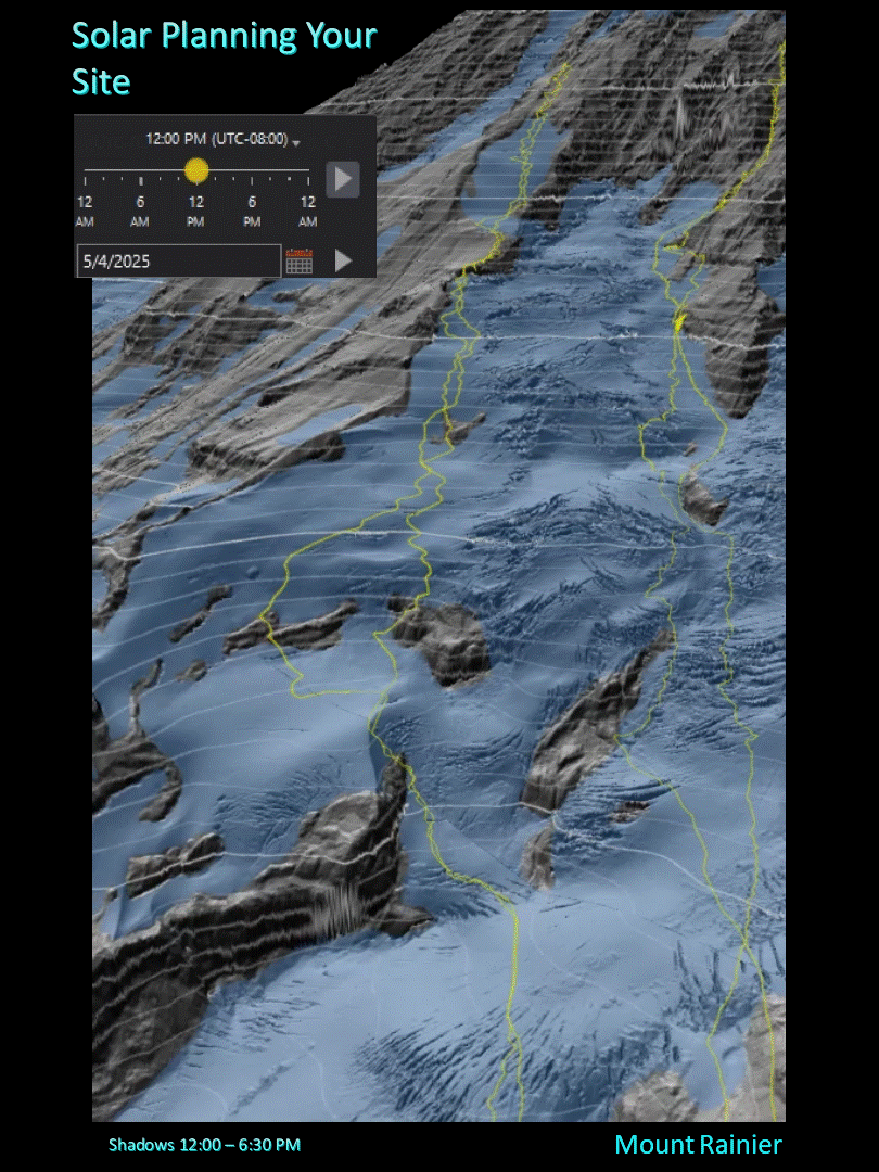
- Shadow & Viewshed
- Line of Sight
- 1-foot contours (vector)
and more…
Check out our interactive data delivery app below, or past examples HERE -
![An image of The Cultural Center.]()
Rooftop 3D
High precision surface area metrics for rooftops and infrastructure under dense canopy.


Services
-las point cloud to raster/vector/cad
-Advanced Lidar analysis
-Raster terrain data expertise
-Forestry Analysis
-Surface Hydrology Analysis
-Interactive Web Map, GPS enabled field apps.
-Application and Dashboard development.
Global Lidar Viewer Application